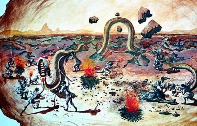
Once upon a time a giant snake dwelled in southern Namibia. Every so often it devoured the sheep and goats of the people and finally they decided to kill the snake. Armed with spears and accompanied by their dogs the men set out for the hunt. They encircled the snake, kept it at bay with torches, shot arrows at it and thrust spears into its body. Even though it was a giant snake it stood no chance against the superior numbers. In its death throes the snake tossed and turned, tearing deep furrows into the ground.
An old Nama legend explains in this vivid manner how the Fish River Canyon was formed. Geologists offer a more prosaic but no less fascinating explanation. It also involves an epic death struggle – though not of a snake but of a super-continent and it does not happen overnight but goes on for hundreds of millions of years...
Once upon a time in the area of today’s canyon there were deep fissures in the earth’s crust. Some 350 million years ago part of the surface caved in along those fissures and a rift valley, about 20 km wide, emerged. The Fish River chose the rift for its bed. Due to the low gradient the river meandered through the valley in wide loops – also called a meander belt.
The ancient southern super-continent of Gondwana disintegrated some 120 million years ago. South America and Africa drifted apart. The rims of the African fragment rose - Namibia’s interior is a high plateau even today – and with it the drop to the sea level. Starting from its mouth, the Gariep (Orange) River dug deeper into the earth and the Fish River, its tributary, followed suit on the high plateau in southern Namibia. Thus its shallow meander belt turned into the Fish River’s winding system of gorges.
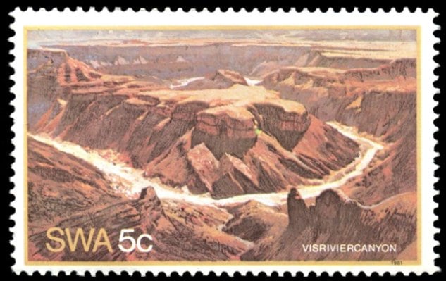
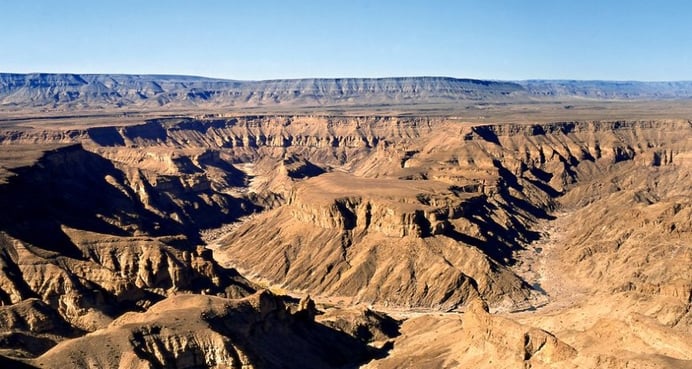
Standing at one of the viewing points on the edge of the canyon you are able to visually relate to the geological explanation. You are on the shoulder of the rift, looking onto a plain below – the floor of the rift valley. The plain is also termed the 'upper canyon' and the meandering gorges that have been cut into it are the 'lower canyon'.
In total the Fish River Canyon is about 160 km long, up to 27 km wide and 500 m deep. It is seen as the second largest canyon on earth - after the Grand Canyon in the US. Hot springs are found in some places on the canyon floor: at Sulphur Springs, several kilometres south of the main viewing point, for example, or at the Ai Ais spa.
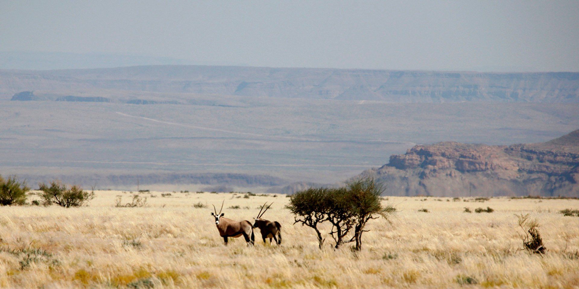
The canyon is situated in the Nama Karoo on the western fringe of the summer rain area. Rainfalls are unreliable and limited to small areas at a time. The annual average is around 80 to 100 mm. Thus the gorges of the Fish River and its tributaries have served local inhabitants as lifelines for hundreds of years. Rock engravings testify to the presence of people in ancient times. In the 19th century missionaries wrote about groups of Nama living there. From 1890 onwards the Nama were displaced first by German settlers and later by South Africans. Now they live in places like Warmbad, Keetmanshoop and Bethanien. Efforts to protect the canyon started relatively late, if compared to Etosha National Park in the north, for example. The canyon was proclaimed a national monument only in 1962 and a nature reserve in 1968.
Looking at the canyon landscape it is hard to believe that is was – and still is – utilized for livestock farming. Many farmers, however, were forced to give up due to overgrazing and a prolonged drought. As a result a private nature reserve, Gondwana Cañon Park, was established on the north-eastern boundary of the national Ai Ais Richtersfeld Transfrontier Park.
The famous 80 km canyon hike from Hiker’s Point to Ai Ais (5 to 6 days) is part of the national park. In Gondwana Cañon Park hiking tours with or without mules are offered in the wilderness of the canyon landscape some 40 km north of Hiker’s Point.
[polldaddy poll=5583253]


SUBMIT YOUR COMMENT